Soil research of the future: new opportunities for optimal soil management

Wouldn’t it be great if you could map the soil and subsoil with a handy gadget like the Tricorder in Star Trek. Unfortunately this is not yet the case, but thanks to technical developments more and more is already possible.
For instance, with the ERT technique layering of the soil and contaminations within the soil can be represented in a three-dimensional visualisation.
Within the project “Soil research of the future” Bioclear earth in cooperation with SIKB and Sweco will assess how we can answer new questions about the soil and the subsoil in a smart and affordable way. We identify which new techniques are the most suitable and determine the best way to put them to use.
Which information is necessary for soil management of the future?
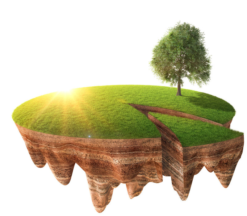
Issues considering soil and subsoil management are changing. Questions have become more complex, because multiple factors must be taken into account. Besides the demands for clean soil and healthy drinking water, there is an increasing demand for renewable energy and the promotion for a sustainable use of the soil. This has resulted in an increasing attention for the biological and physical aspects of the soil and the underground.
Soil management itself is also changing. For instance, in the Netherlands an area-oriented approach of groundwater and soil issues is becoming more common instead of a local approach of these issues. This trend is reinforced by the introduction of the new (Dutch) Environmental Law, which will make the soil legally an integral part of the physical environment.
Due to scale enlargement these conventional research techniques are less cost effective and don’t always provide us with the correct information. Even though the development of techniques has evolved, little use has been made of these new techniques so far. Still the most commonly applied are familiar techniques like soil drilling and sampling.


